


Stages
22 Jun 2015
Detailed Itinerary
Stage 1 – Ettelbrück – Bourscheid- Moulin
Lenght : 17.6 Km
Difficulty : 3
Vertical gain: 727 m
The route starts at Ettelbruck and, more precisely, at the train station. The route we are interested in starts off in the direction of the “Patton” monument to then head North and enter the “cut up” part of the Ardennes – water courses and their deeply encased valleys have cut into the plateau.
Stage 2 – Bourscheid-Moulin – Hoscheid
Lenght : 19.2 Km
Difficulty : 4
Vertical gain : 850 m
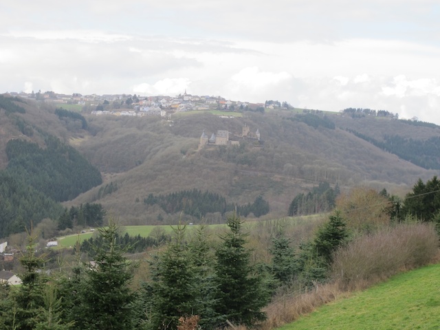
After Bourscheid-Moulin, the path runs along by the Sauer to then head back up to the upper plateau. It leaves the village of Bourscheid to directly re-join the “Napoleonsknäppchen” panoramic viewpoint, the highest point of the hike (505m). After this come the rocky outcrops of the “Rouschteschléen”, the unusual village of Dirbach at the bottom of the valley, the Goebelsmühle station and the mysterious valley of the Schlënner to finally end with the beautiful “Molberlee”, the most emblematic rocky ridge of the Escapardenne Lee Trail.
Stage 3 – Hoscheid-Kautenbach
Lenght : 15 Km
Difficulty : 3
Vertical gain : 528 m
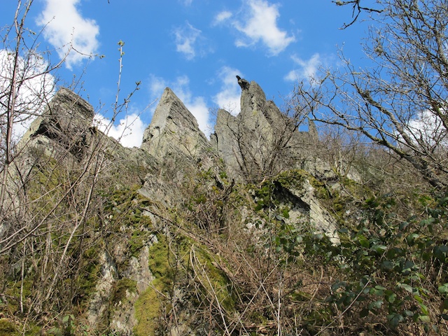
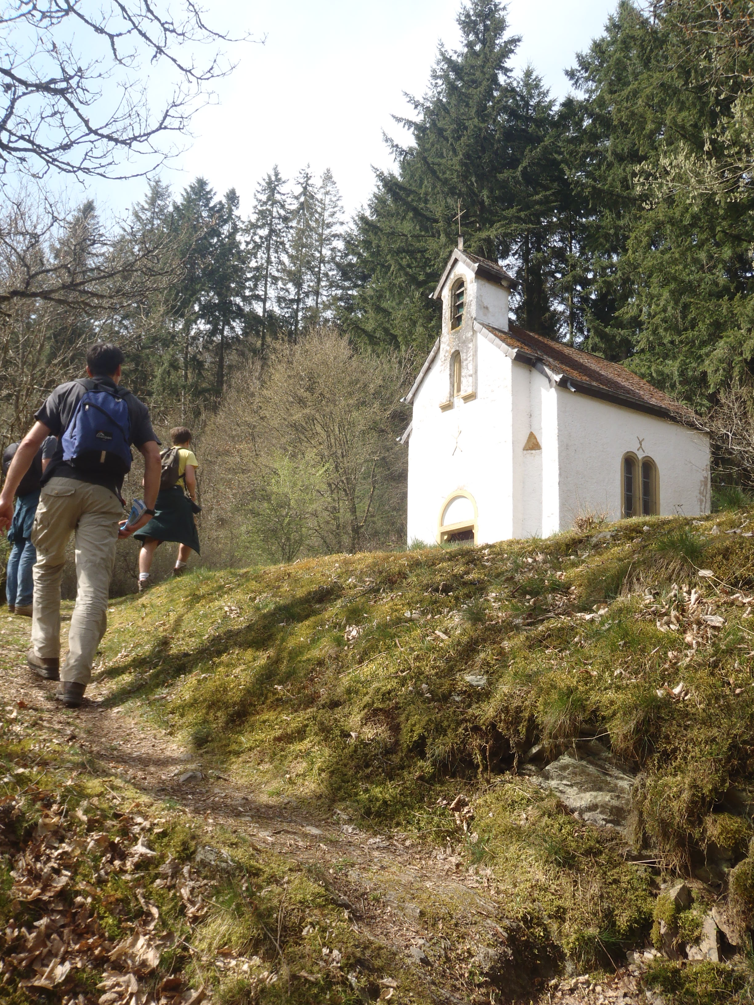
The last stage starts after the village of Hoscheid, installed on the upper Ardennes plateau. The walk then takes us towards the Lëtschbaach valley and ventures once more into the “Schlënner” valley where the St. Michel chapel invites hikers to contemplate the unusual quiet of this place. After a good climb through oak-tree copses, we re-join the upper plateau. There are only a few kilometres’ walk left to get back to Kautenbach, passing through the rocky outcrops of the “Hoflee” and along the mysterious valley of the “Géischelterbaach”. One last climb takes us to the panoramic “Hockslee” and “Obenschleid” viewpoints. Kautenbach is then at our feet; a small path that weaves down through the “Bomm” rocky ridge takes us there.
-
 ESCAPARDENNE
GEOMAP VIRTUAL
TOUR -
 CIRKWI
 iOS
iOS
 Android
-
VENTE EN LIGNE • BUY ONLINE
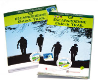 TOPOGUIDE & CARTE • MAP